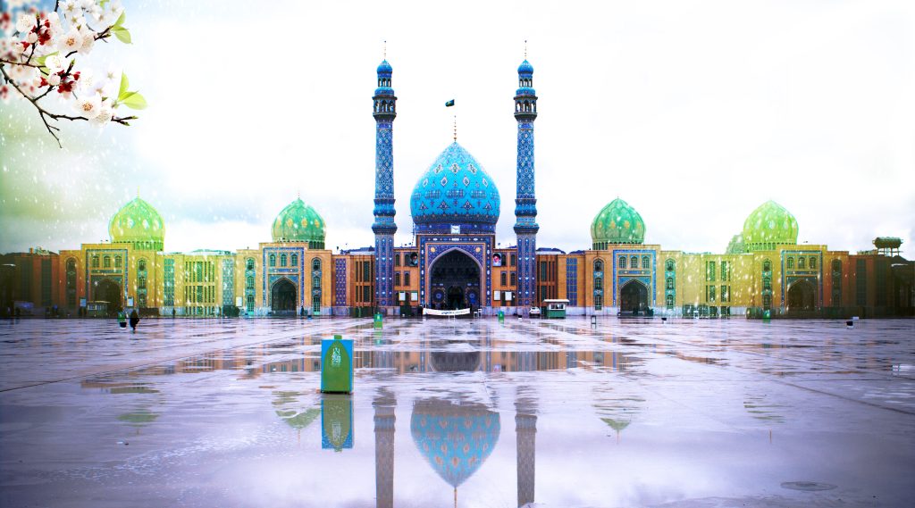
District 5 of Qom is located in the eastern direction of Qom.
From the north to Imam Ali highway and Azar neighborhood.
from the west to Yazdanshahr and Foundation,
From the east to the Qom-Kashan road
and from the south it leads to the Persian Gulf highway and Janat Abad road.
Panj Qom region has 3 districts and 9 neighborhoods and has an area of about 15 square kilometers.
Lilac range
All information is provided based on the Qom Municipality website description.
Qaim Commercial Complex: Qaim St., corner of Koche 28
Majidieh Store: Shahid Kabiri Boulevard, Majidieh Square
Single Tree Wood Industry Store: Shahid Kabiri Blvd., Alley 5

Brason
Karbasi Garden
Majidiyah
angle
Taleghani town
Water organization town
Ghaem city
bowlers
Jamkaran
Dr. Fayaz Bakhsh’s clinic: the beginning of the Shahid Mahalati block
Pulmonary Diseases Center: corner of Veli Asr Square (AJ)
Noor Clinic: Shahid Javad Del Azar Boulevard, Police Square
Hazrat Mahdi Clinic: Jamkaran Holy Mosque – west side
Qaim Clinic: Kalhori St. – in front of Imam Montazer Mosque
Technical and Vocational Education Center: Corner of Shahid Mahalati Square
Grain company: Shahid Mahalati, in front of Koche 22
Jamkaran Mechanized Technical Inspection Center: Jamkaran, at the beginning of Imam Hasan Askari Street
Region 5 Municipality: Vali Asr Square next to Bostan
Qoli Daro ancient site: Jamkaran, Imamzade Jafar Gharib
Gabri Jamkaran Castle: Qom, inside Jamkaran village
برای دریافت مشاوره تخصصی و کسب اطلاعات بیشتر درباره خدمات ما، کارشناسان حرفهای گروه ساختمانی رویال آماده پاسخگویی به سوالات و نیازهای شما هستند. لطفاً با شمارههای زیر تماس بگیرید تا بهترین راهحلها و پیشنهادات را متناسب با پروژههای خود دریافت کنید.
025-32057
قــــم - بــلـــوار بــوعــلی پـــلاک 61
برای دریافت مشاوره تخصصی و کسب اطلاعات بیشتر درباره خدمات ما، کارشناسان حرفهای گروه ساختمانی رویال آماده پاسخگویی به سوالات و نیازهای شما هستند. لطفاً با شمارههای زیر تماس بگیرید تا بهترین راهحلها و پیشنهادات را متناسب با پروژههای خود دریافت کنید.
025-32057
قــــم - بــلـــوار بــوعــلی پـــلاک 61
برای دریافت مشاوره تخصصی و کسب اطلاعات بیشتر درباره خدمات ما، کارشناسان حرفهای گروه ساختمانی رویال آماده پاسخگویی به سوالات و نیازهای شما هستند. لطفاً با شمارههای زیر تماس بگیرید تا بهترین راهحلها و پیشنهادات را متناسب با پروژههای خود دریافت کنید.
025-32057
قــــم - بــلـــوار بــوعــلی پـــلاک 61